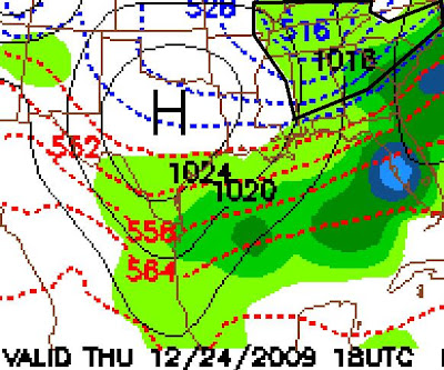
The 18Z run of the GFS model yesterday (earlier I accidentally said today's 18Z) continues to show the possibility of a significant Christmas Eve snow across the South. It is way to early to be specific or make a forecast, but the model is definitely worth taking as a "heads-up" for the possibility.
I have zoomed in on the southern states on the following graphics and added black boxes indicating the areas that may have the possibility of snow. Stay tuned!

11pm 12/23/09 until 5am 12/24/09
5am 12/24/09 to 11am 12/24/09


No comments:
Post a Comment